Tales of the Unexpected – a walk to Wincobank Hill Fort

Not many people would expect to start a walk starting from Meadowhall Shopping Centre to take in spooky abandoned railway stations, ancient woodland and an Iron Age Hill Fort, but that’s exactly what I did on Sunday, in preparation for my next nature writing walk and workshop. Here’s the link to book your place. I hope that my blog post will intrigue and entice you to come along.

The walk starts at Meadowhall Interchange, and I found a good route that takes just over two hours of slow walking time. A lot of it is uphill, but it’s worth it for the view and Wincobank Hill is absolutely amazing. If you are joining me on Saturday, please bring a packed lunch, water bottle, a waterproof jacket and your phone / camera / notebook / sketchbook to capture the experience.

We’ll meet on the tram platform at Meadowhall Interchange at 10am on Saturday 8th June. You could come by tram, train, bus or you could park nearby in the Park and Ride car park.

We will then walk across the pedestrian bridge into the shopping centre. It’s always fun to be going somewhere different from most people, and rather than retail therapy under bright artificial light, we are heading for a complete immersion in nature, a few streets away from the urban East End of Sheffield.

I followed the route on this website: https://www.exploringyorkshirebyrail.com/post/meadowhall-trail and it worked out really well, with lots of new discoveries to explore.

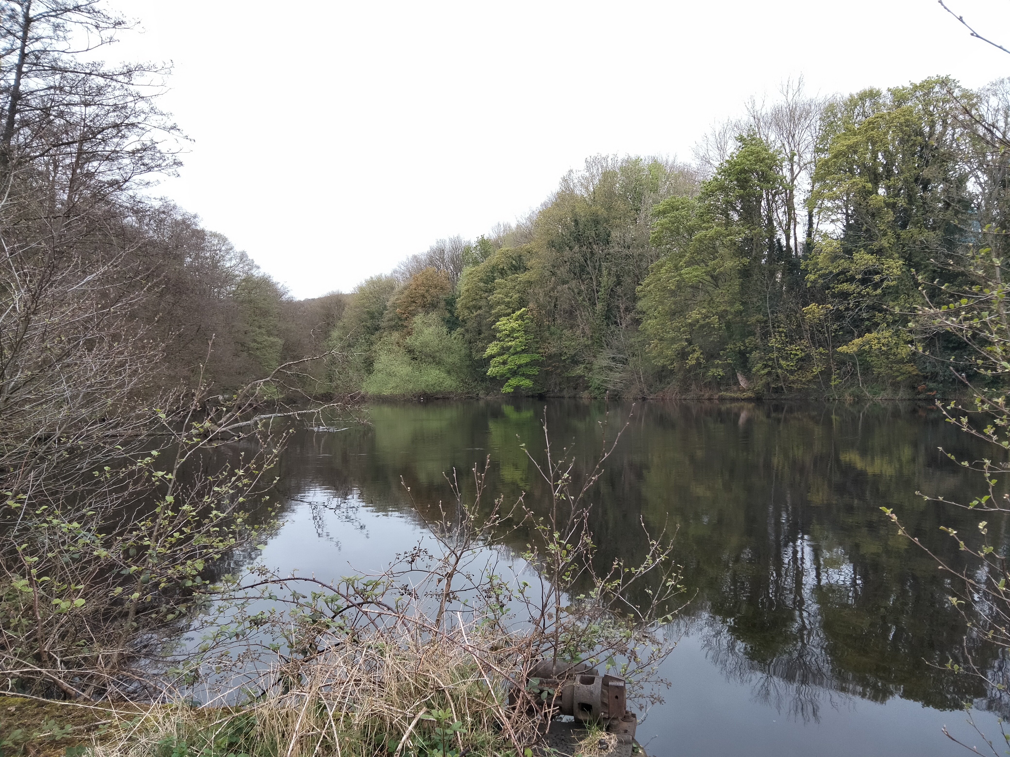
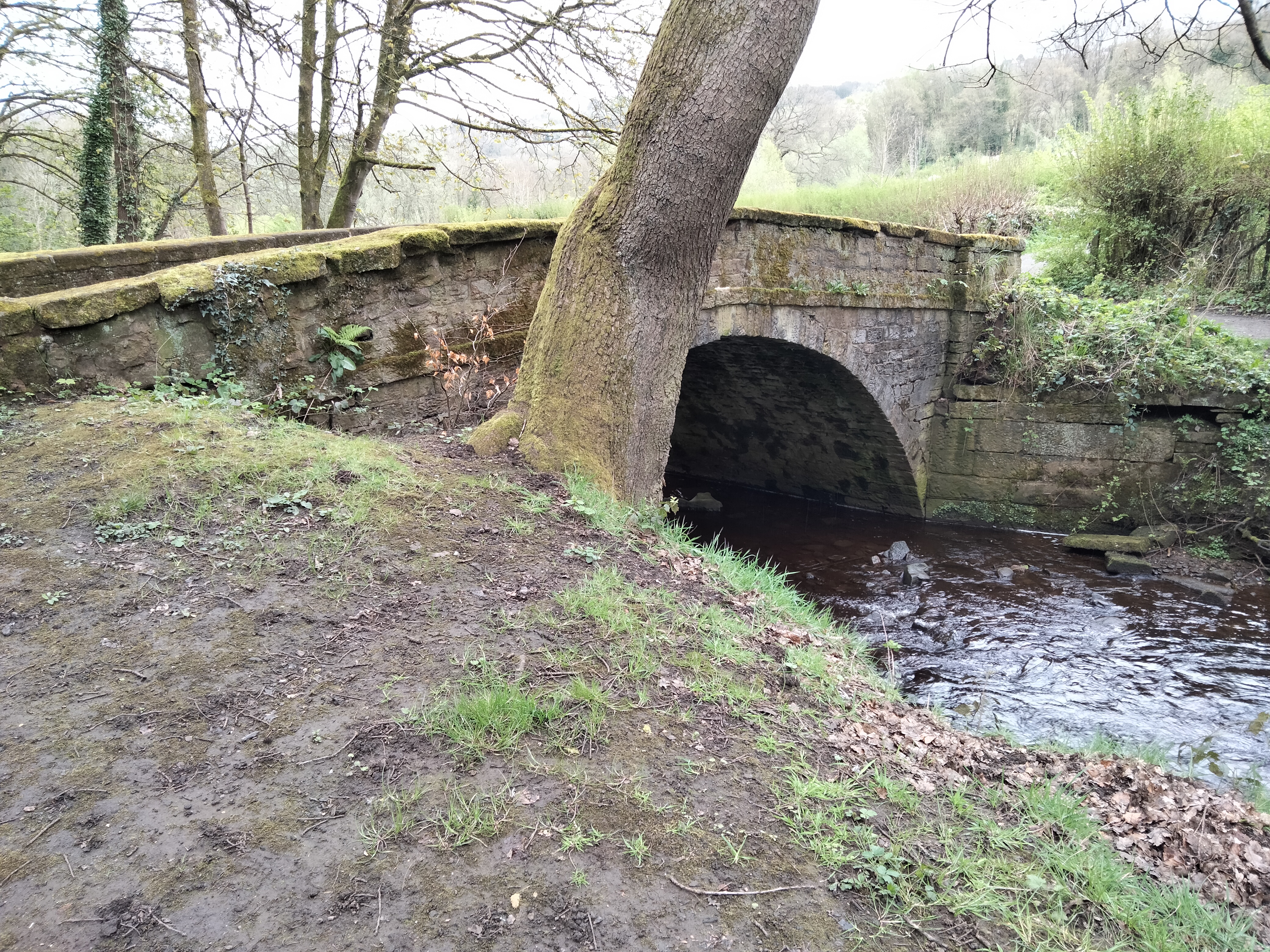
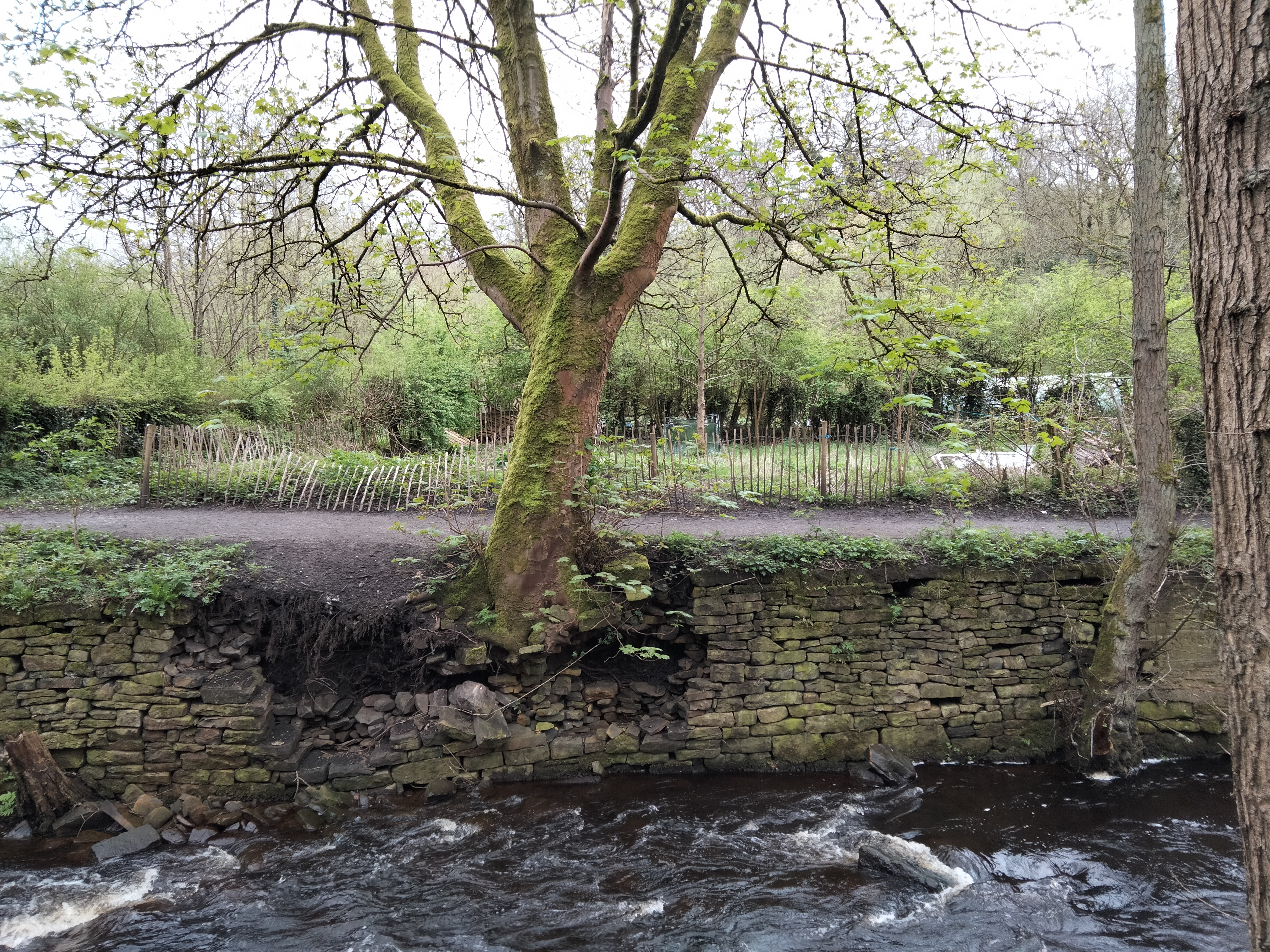
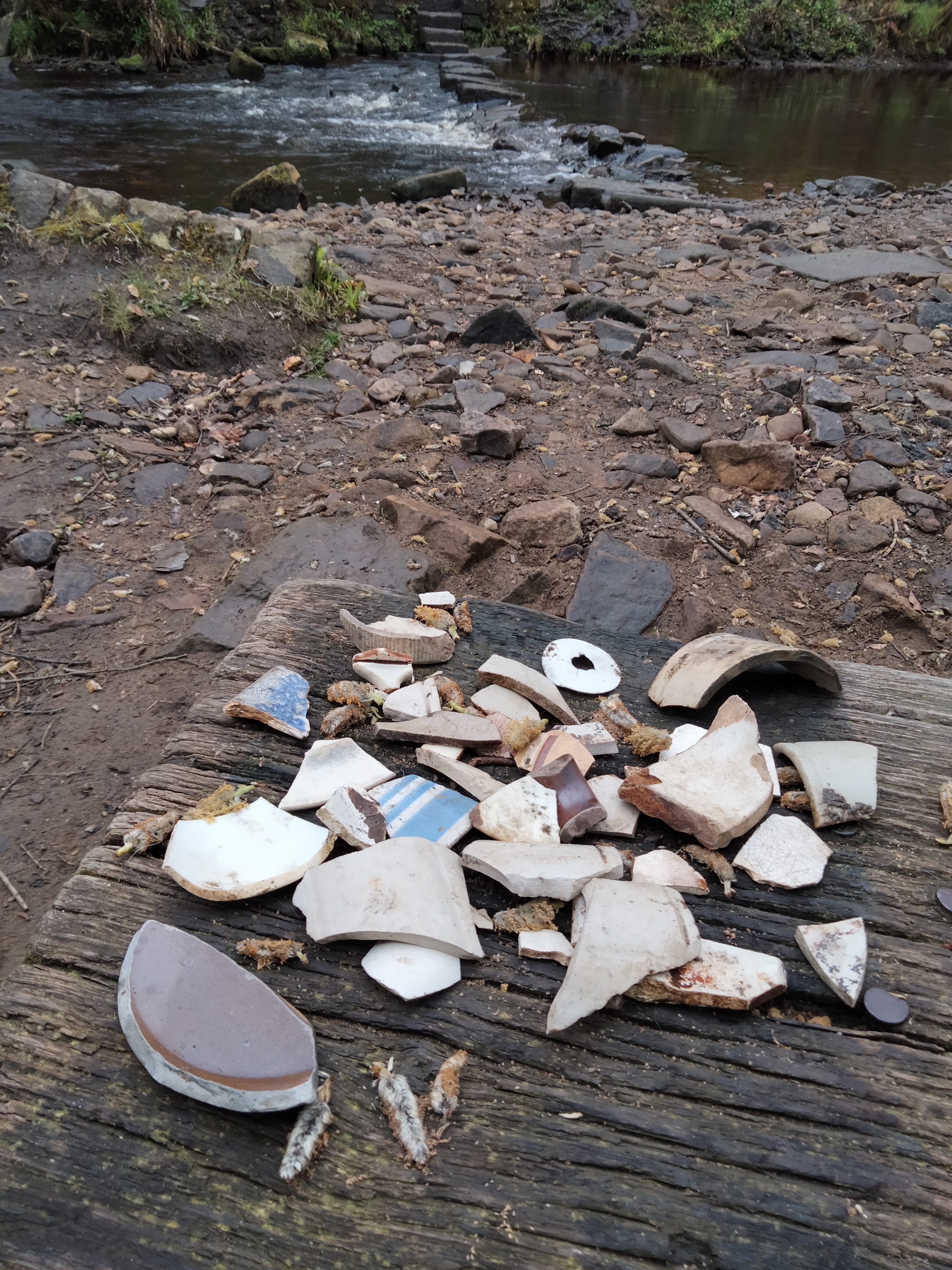
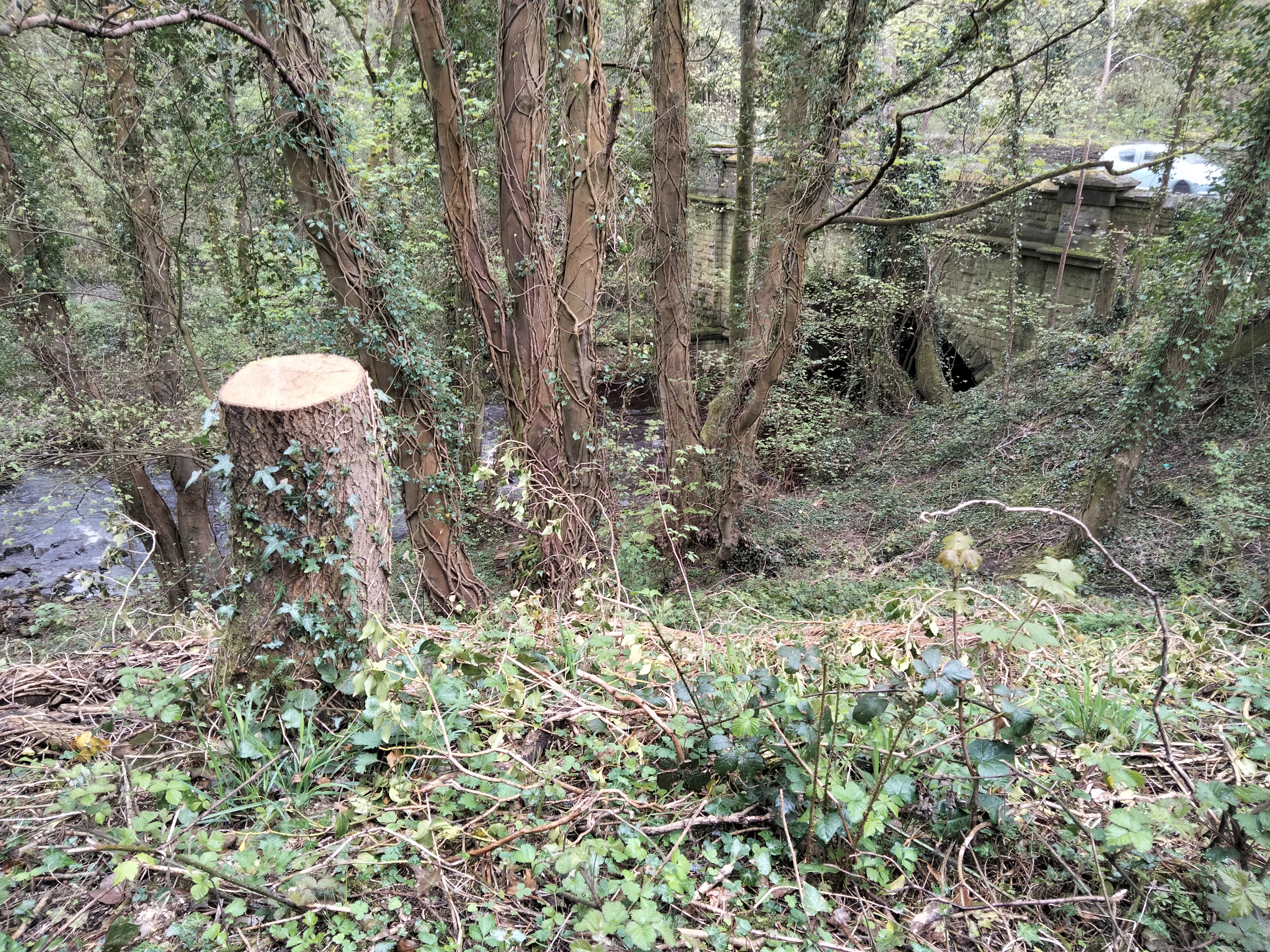
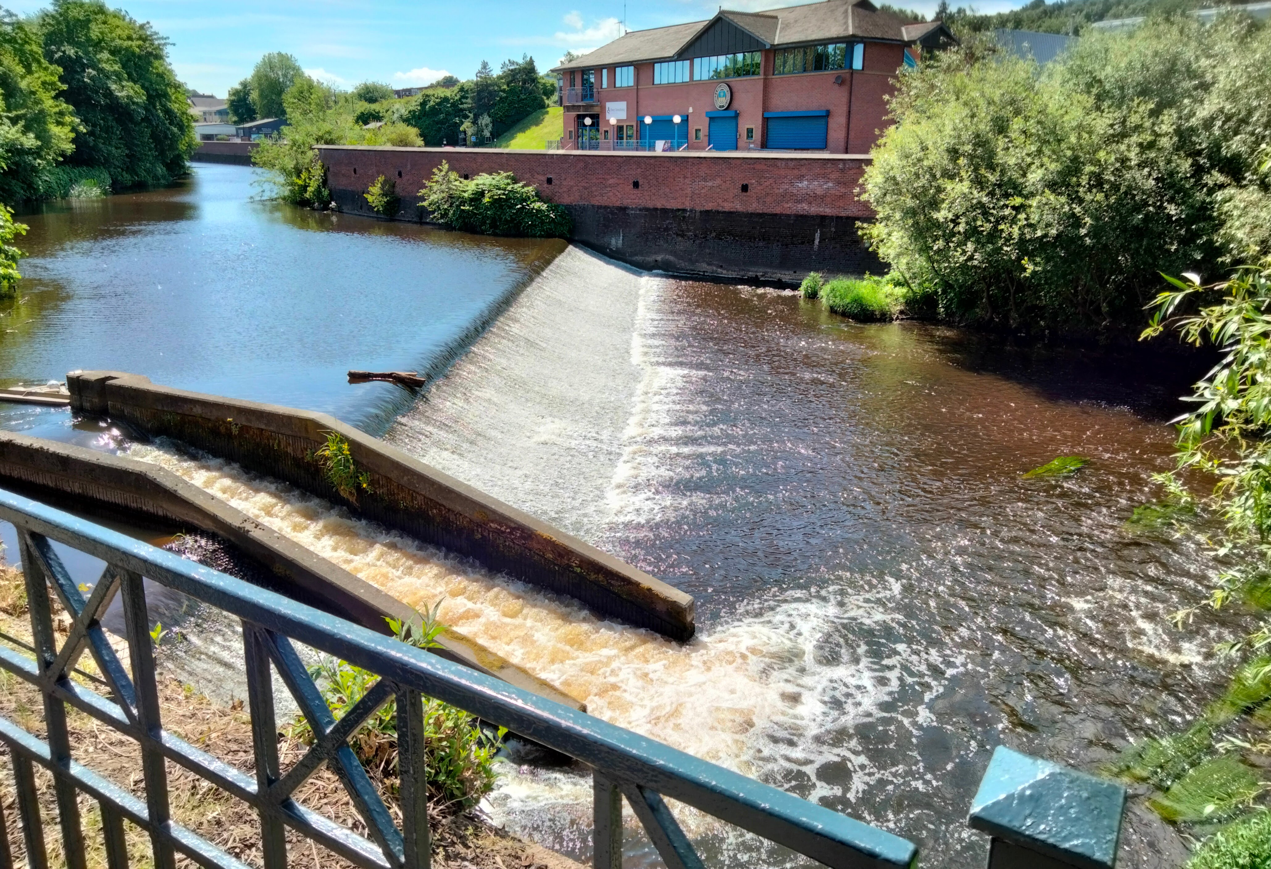
At first, the walk skirts the shopping centre alongside the river. This may seem like a detour, but it’s worth it for a few reasons. There’s a nature reserve running along the banks of the river and at the moment, it’s in full bloom. There are also interesting historical things to notice, including Hadfield’s Weir, dating from around 1600.

Hadfield’s Weir

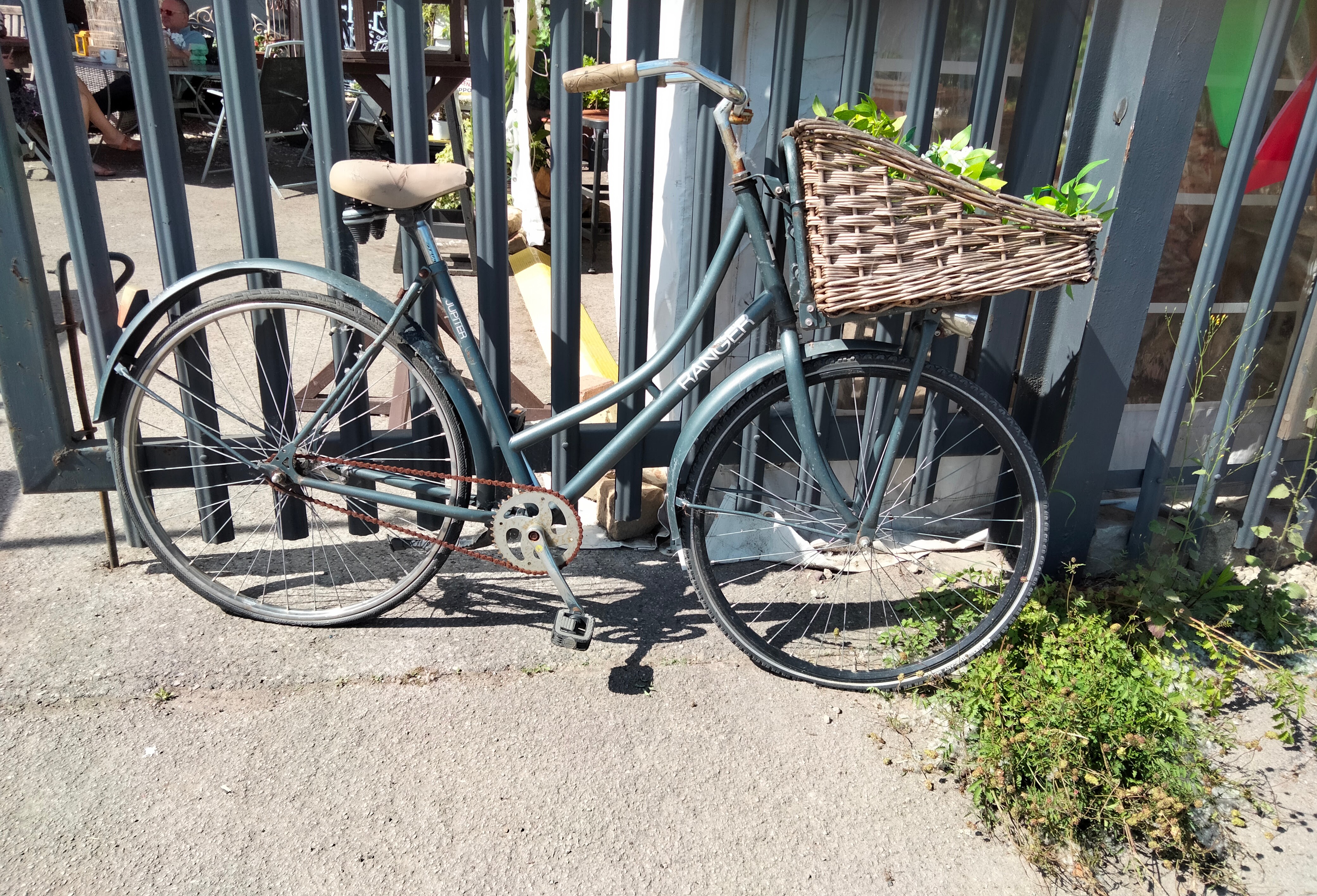
Turning a corner onto Weedon Street, another unexpected place appears – Rag’n’Bone Sheffield, an arty, bohemian cafe, in what used to be a monumental mason’s yard! https://www.facebook.com/RagnBoneSheffield/ It would be rude not to stop off here for a quick coffee/cake, look around and a quick writing session, but it’s so close to the start of our journey that it would be easy to get distracted, so we won’t linger too long, for fear of not reaching our destination.

Rag ‘n’ Bones Sheffield

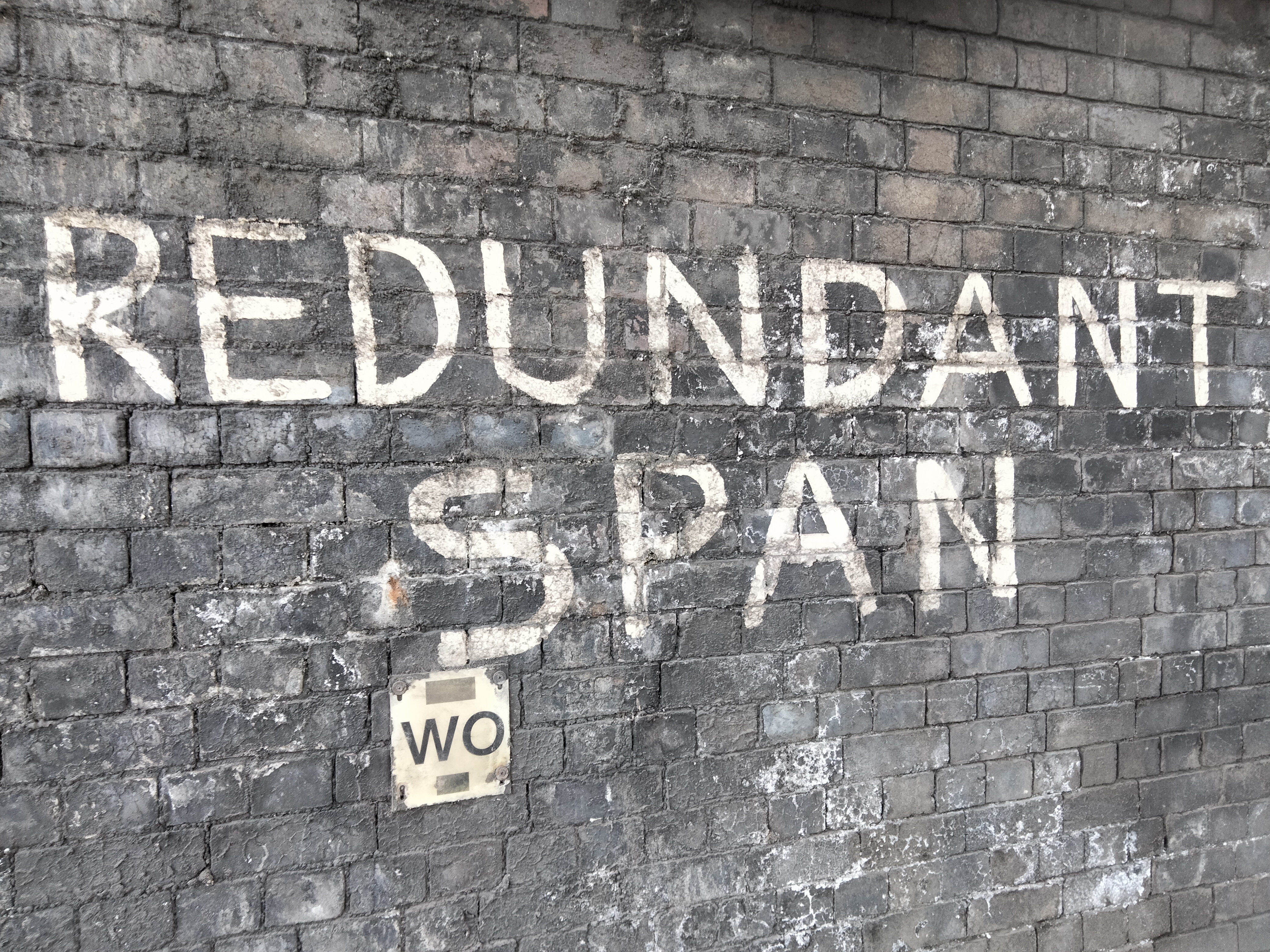
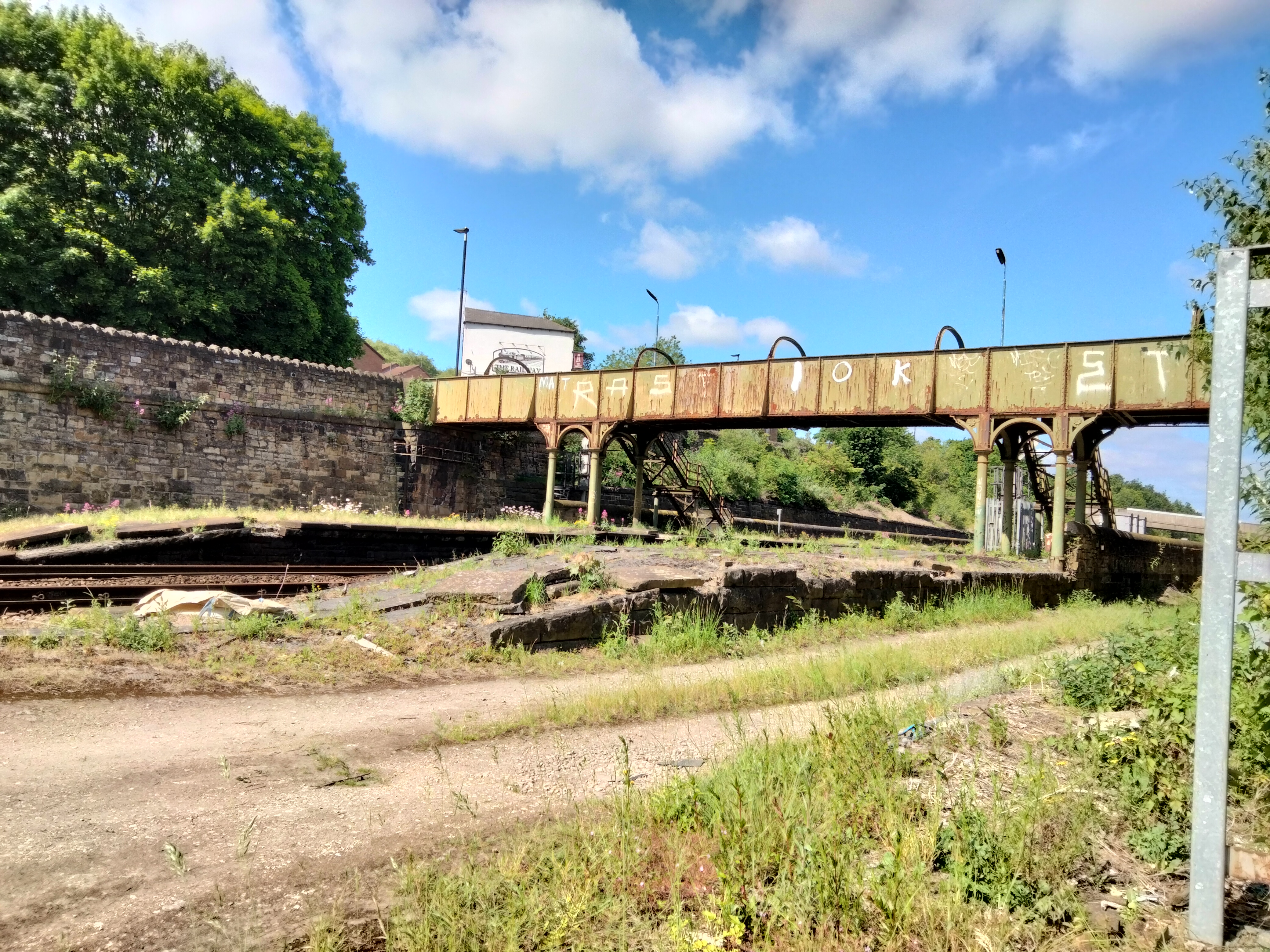
From here’s there’s a busy junction, familiar to anyone who’s ever driven to Meadowhall shopping centre, but even here are interesting historical details. The phrase “redundant span” written in official-looking paint on a bridge has led me to discover that the Brightside railway bridge we pass under is a disused bridge that goes nowhere these days. Colliery Road is blocked off to traffic and looks deserted and wooded, eventually disappearing into a spooky-looking tunnel under the railway. But we’ll carry on under the bridge towards the Crown Pub, turning left up Station Lane. It’s easy to imagine that this was once bustling with people travelling to and from work at the steelworks and foundries, but today it’s abandoned, apart from some flytipping.

It’s obvious that this was once the approach to a fairly substantial railway station, one you’ll whizz through if you catch a train to Meadowhall Interchange, Rotherham or Leeds. The bridge over the railway lines is open, but the steps leading down to the old platforms at Brightside Station have been removed and blocked off, adding to the eerie atmosphere. The station has been closed since 1995.

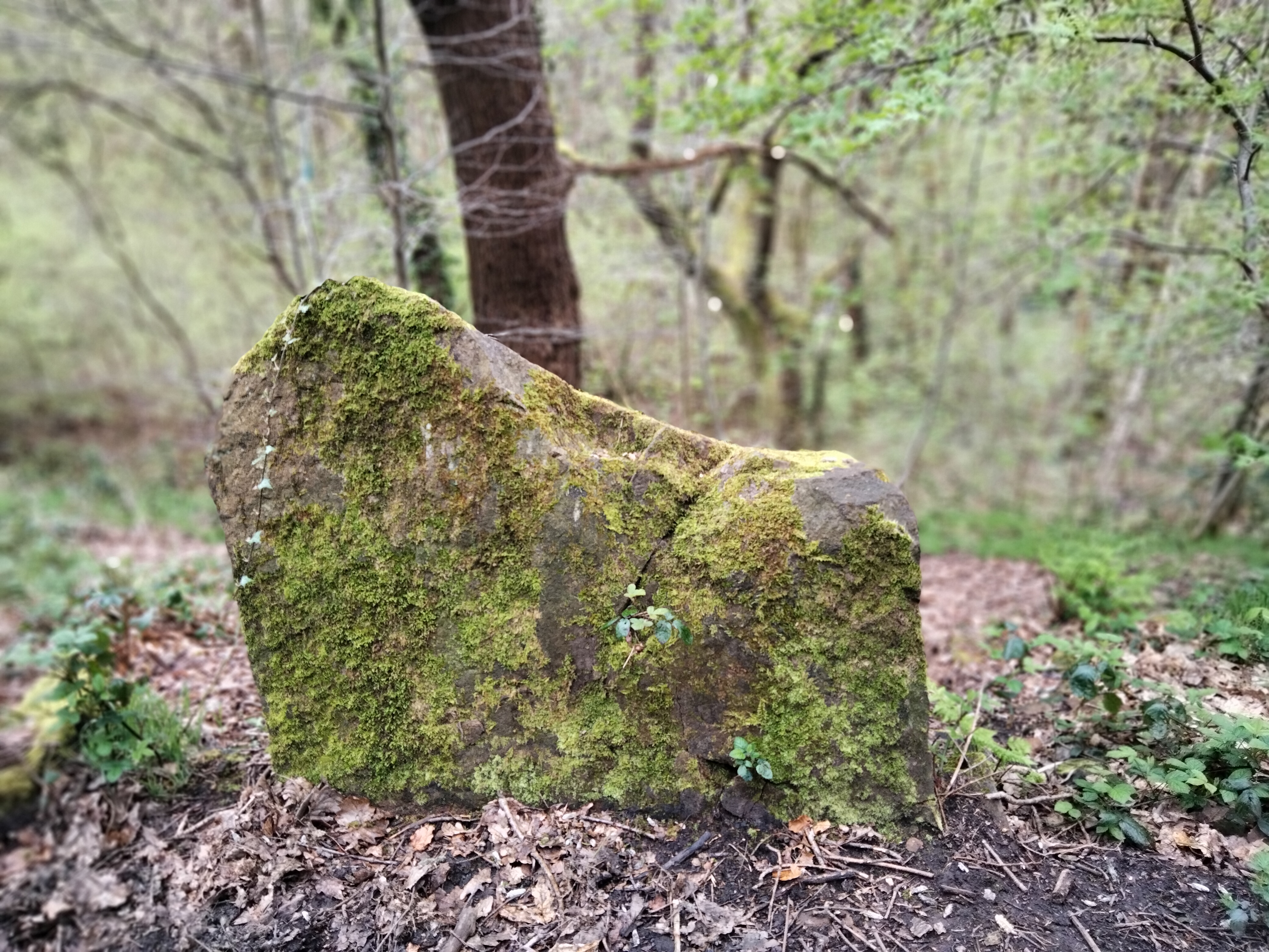
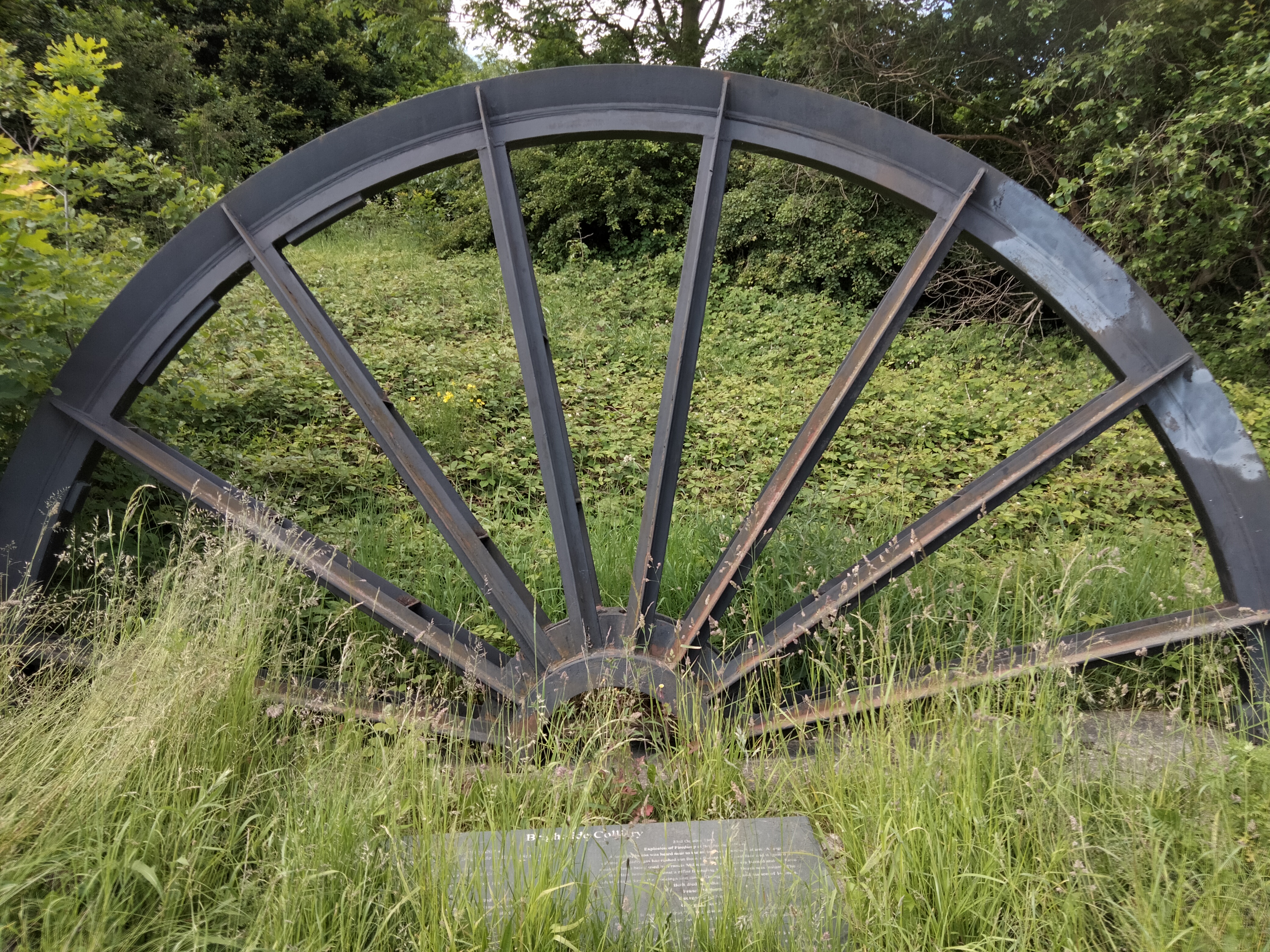
Across the road, the Railway Pub looks inviting, but we need to keep walking! Crossing the road and following the path at the side of Holywell Road, there’s a magnificent view of Sheffield Forgemasters steel works. The other side of the road is deeply wooded, with wild roses growing everywhere. It’s the perfect Sheffield contrast. After a couple of minutes, we’ll reach the Brightside Colliery Memorial, a tribute to the miners who died in accidents in the nearby mine that closed in the 19th century.

Brightside Colliery Memorial

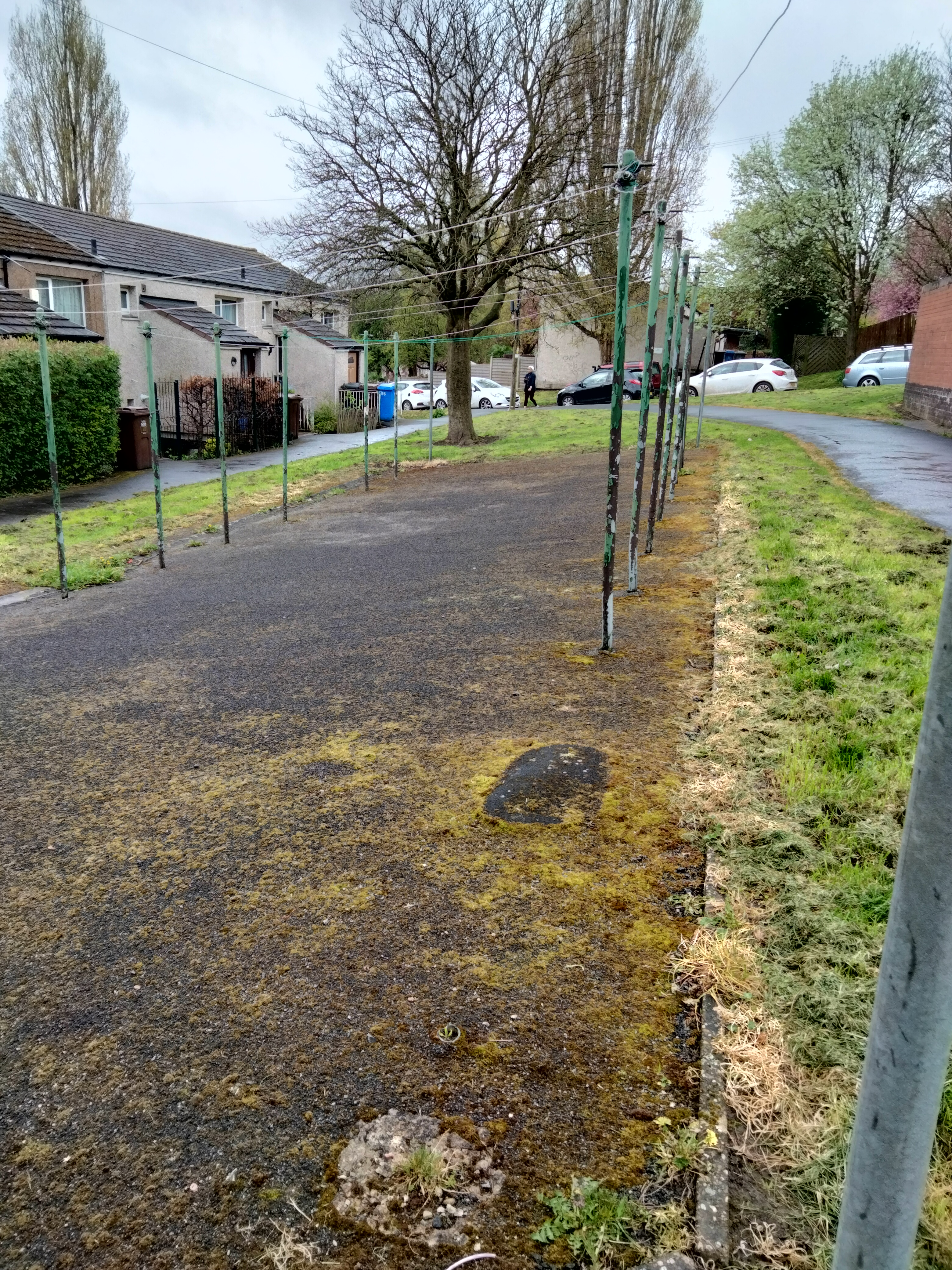
From here, there’s a path that runs steeply up a wooded embankment, emerging into Beason Way Open Space, a lovely meadowy space, through some more woods, into another field and up a steep path, emerging around the back of some lock-up garages! From here, we take a turn into suburban Sheffield on Beacon Way and Wincobank Lane, and this is where our wild adventure really begins.

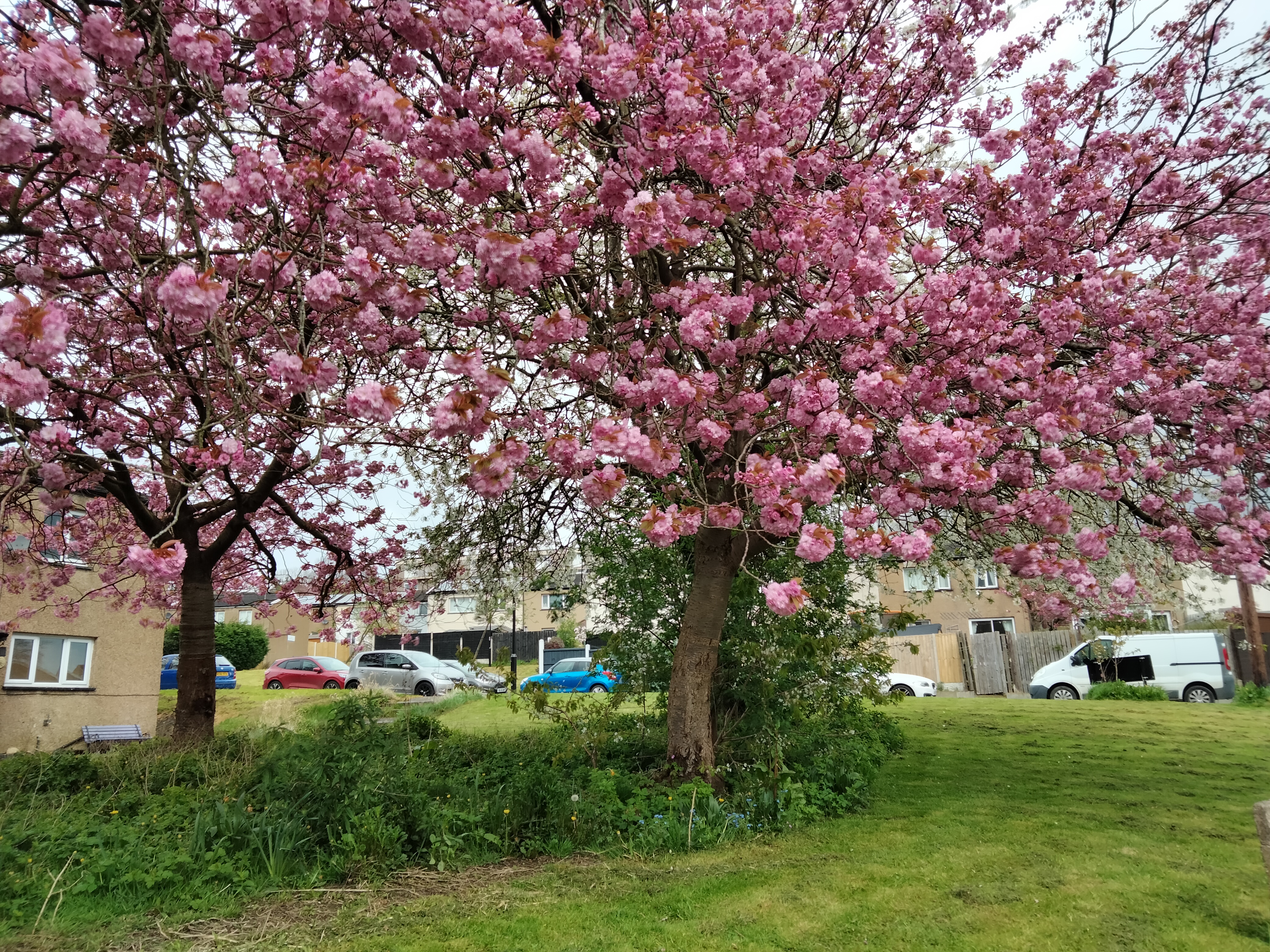
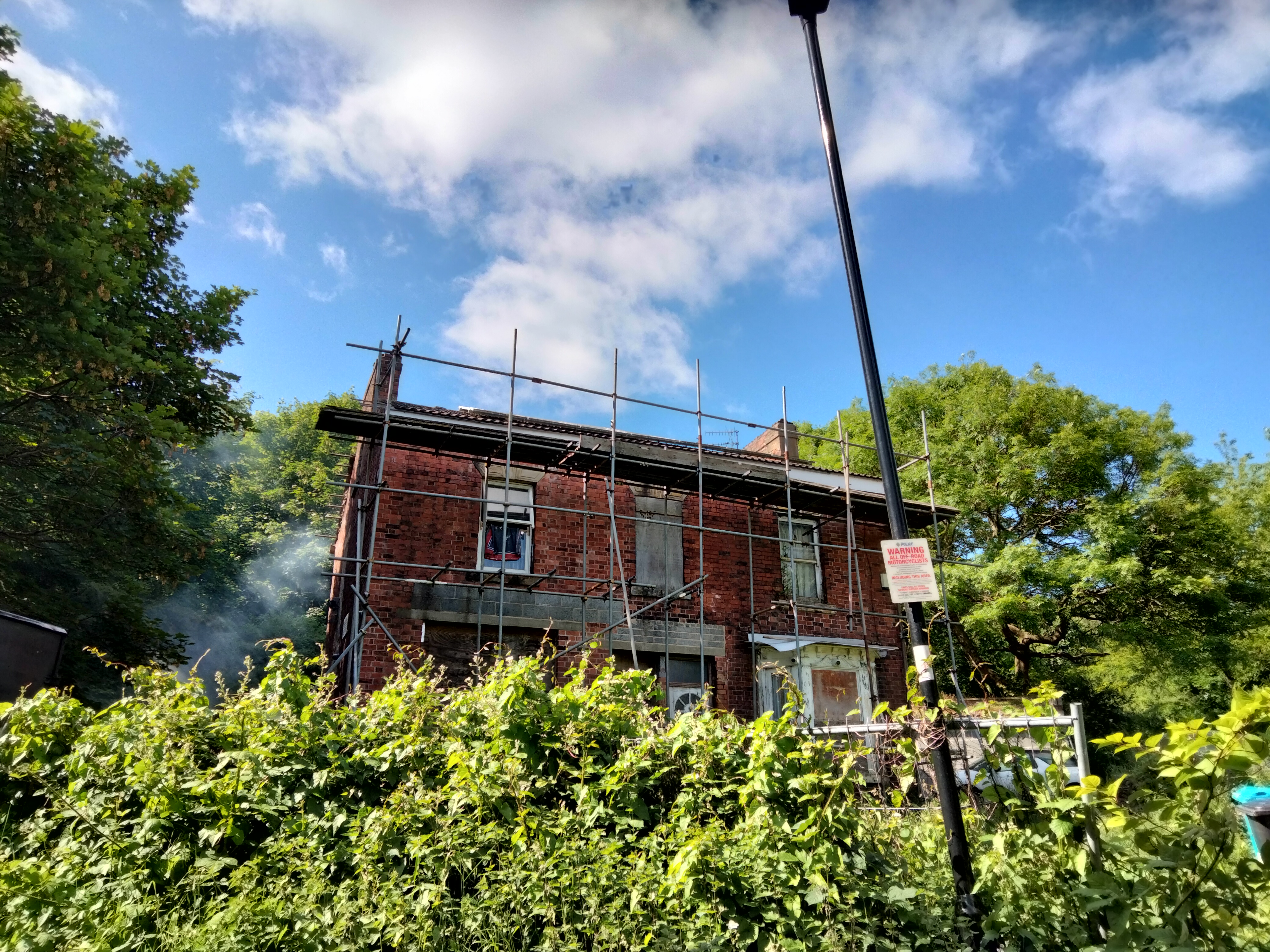
There’s a spooky old house that looks abandoned, apart from smoke rising from a brazier in the overgrown garden. Someone seems to be doing it up – but very slowly. When it’s finally restored back to its Victorian glory, it will be beautiful. On one side of the road is a cluster of Victorian terraced houses, on the other side, ancient forest, rising upwards in the only steep hill for miles.

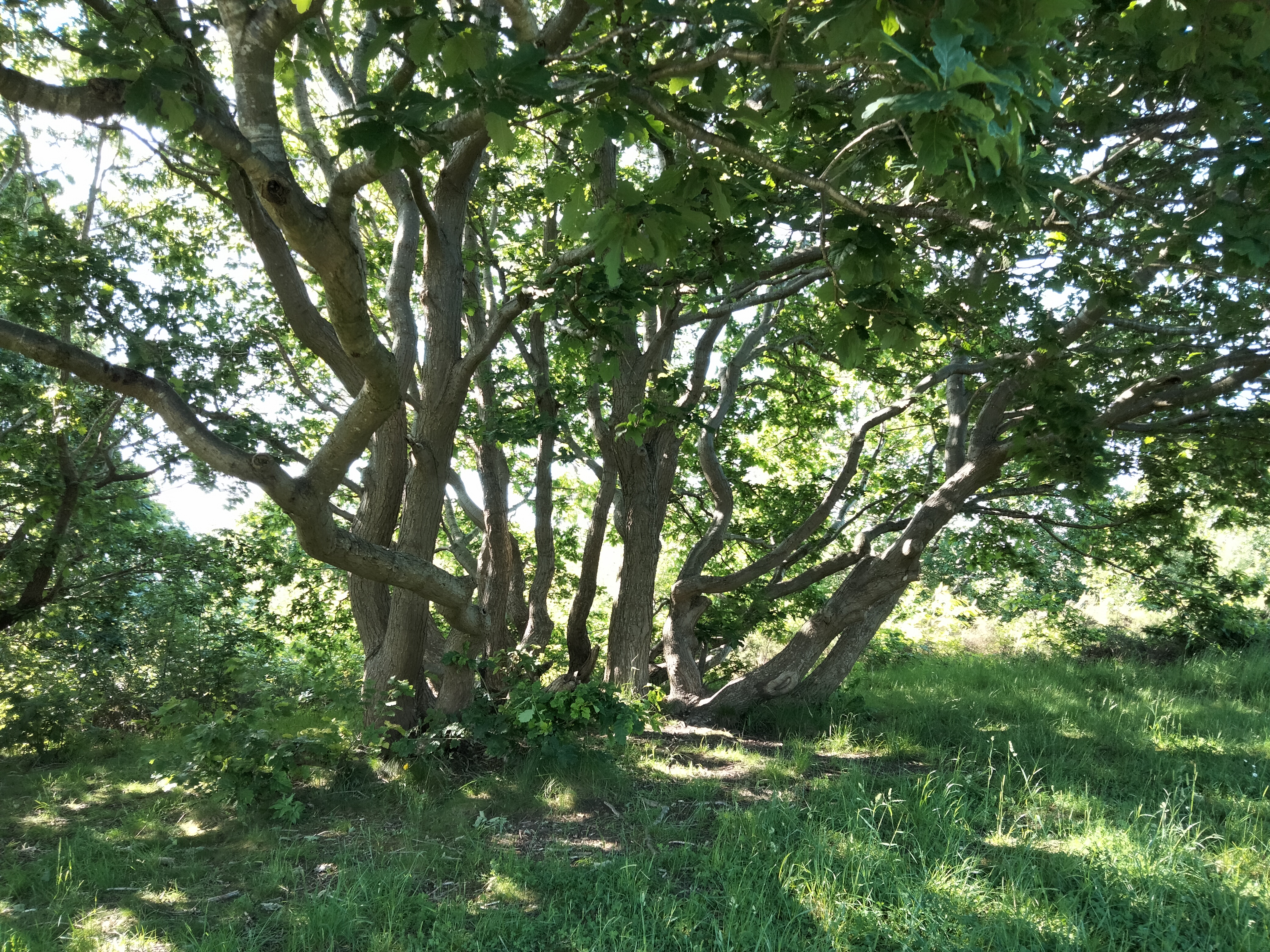
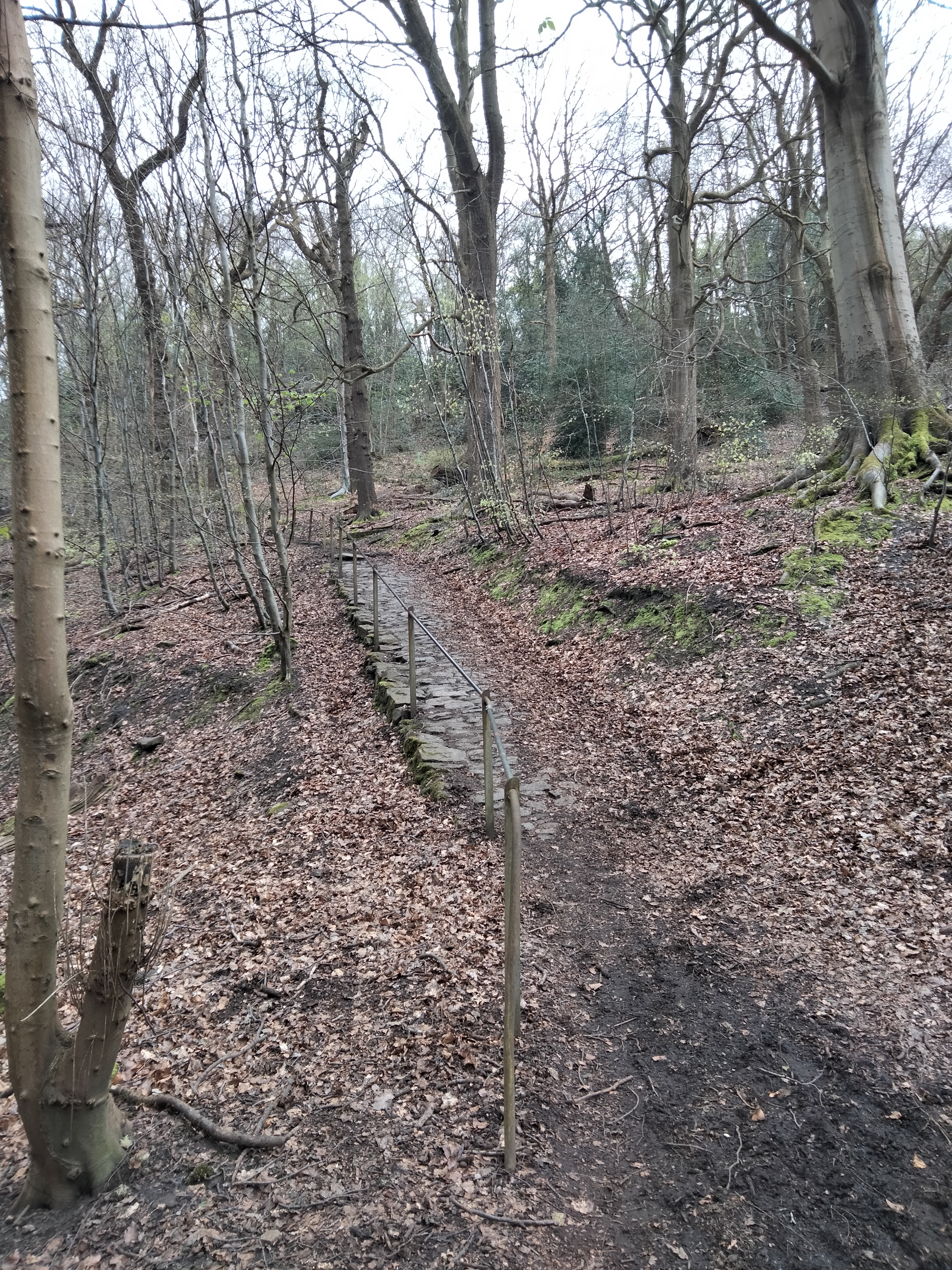
Following the path uphill through the trees, the modern world quickly falls away. This forest is a small glimpse into what Sheffield must have been like when it was part of Sherwood Forest, hundreds of years ago. But the history goes back further than that – to the pre-Roman Brigantes tribe of Britain, who built a fort here around 500 BC.

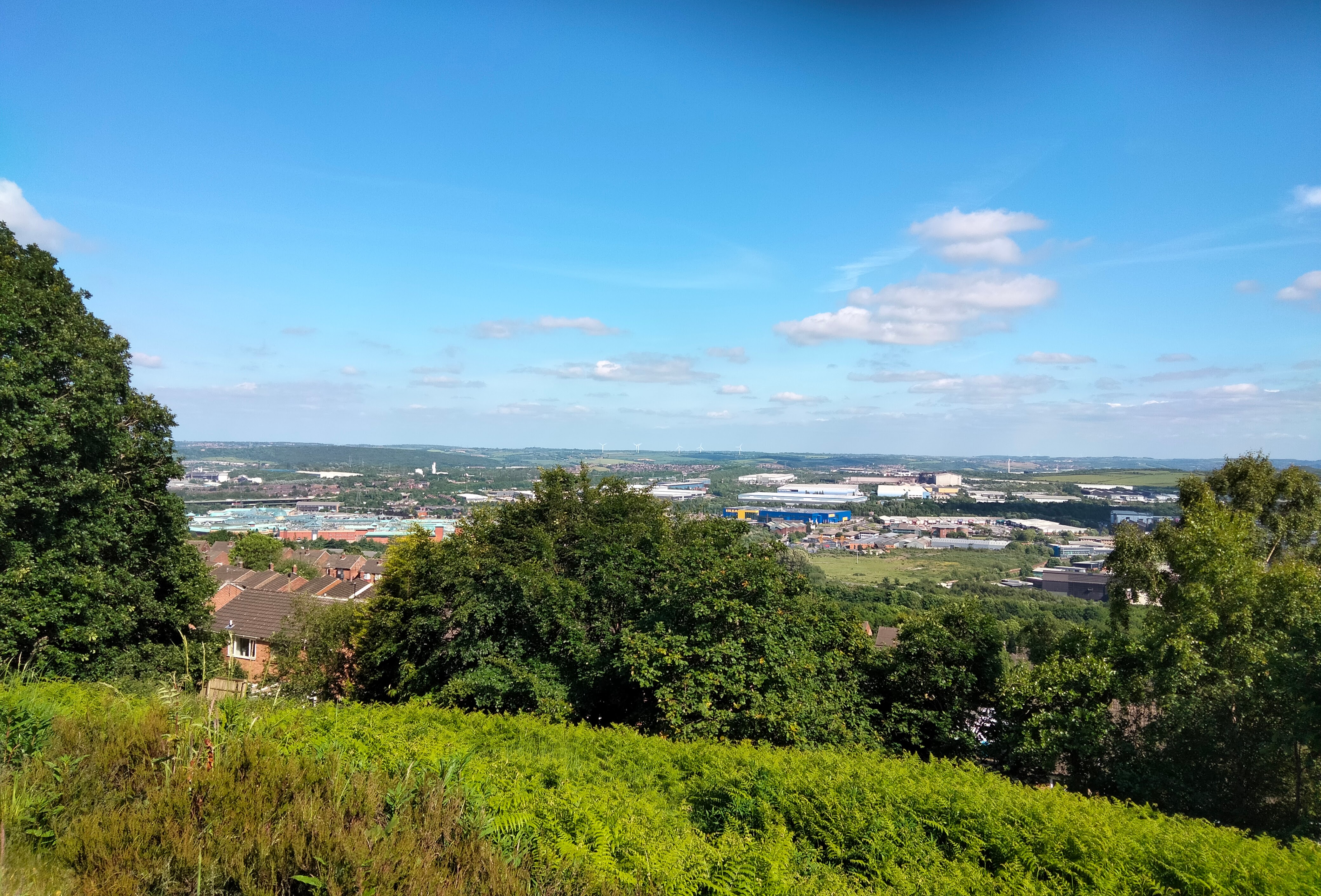
The steep stony path through the trees may go back to Roman times, certainly medieval people would have used it, and it leads straight to the top of the hill. The view over towards the north and west of Sheffield is stunning, and the outlines of the hills are unchanged for centuries. That’s what I like about Sheffield so much – you can always see trees and hillsides!

Right at the top, there’s an open area, brimming with plant life, where you can see the fort’s ditches, and this is another great viewpoint – in modern times, over to the M1 bridge at Tinsley, Meadowhall and the Ikea. You can see why the Iron Age tribespeople would have found this hill so special. On our walk, this is where we’ll stop for some lunch and to take time to write about the walk so far and the beautiful setting.

Just beyond this point is the site of a World War Two machine gun turret, and the path that runs downhill over the ridge from this point has been carefully cobbled in bricks, probably dating from the World War Two era. Then the path emerges onto Jenkin Road, one of the steepest roads in Sheffield, and world famous for being used for the Tour De France tour of Yorkshire in 2014.

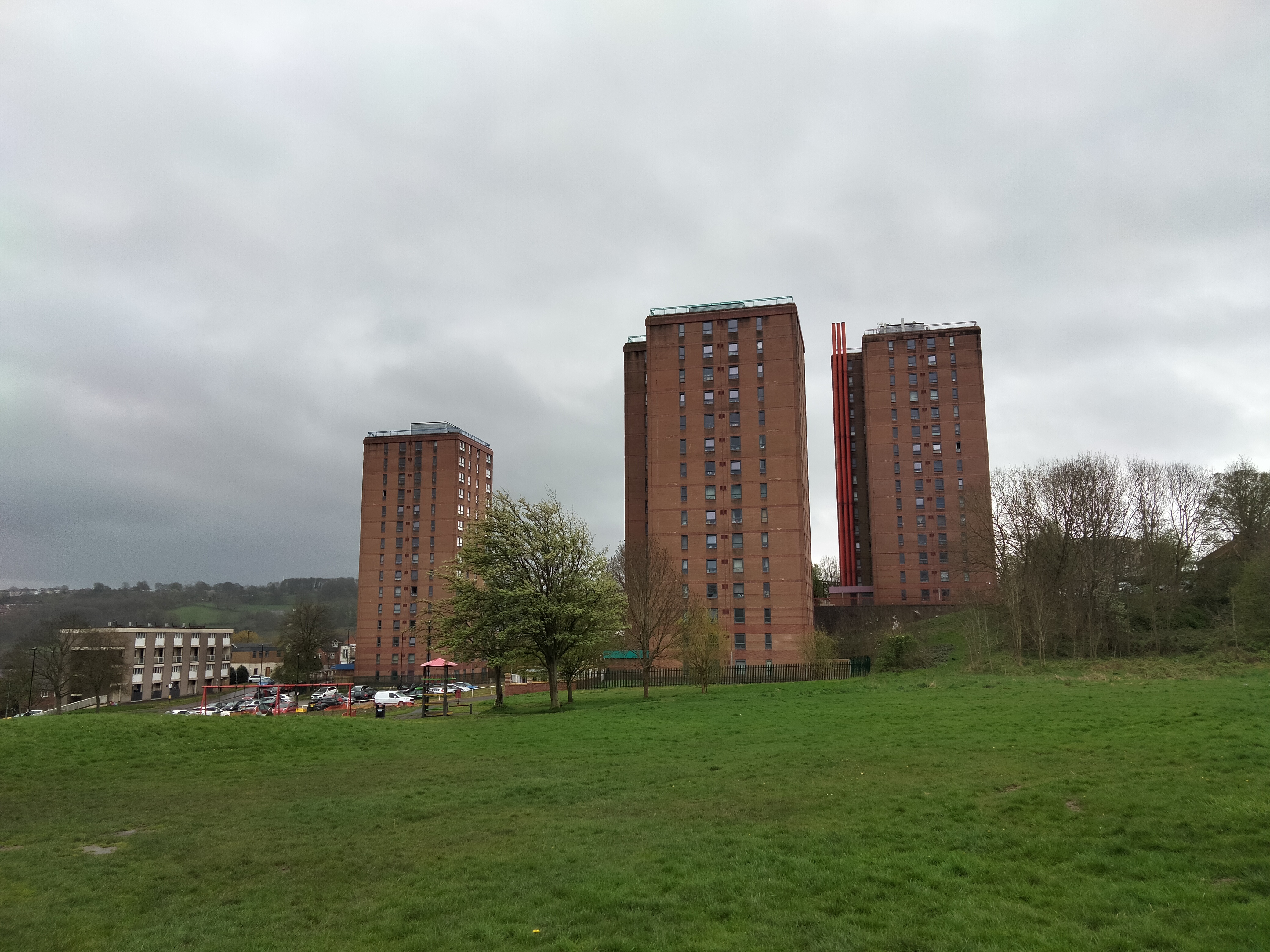
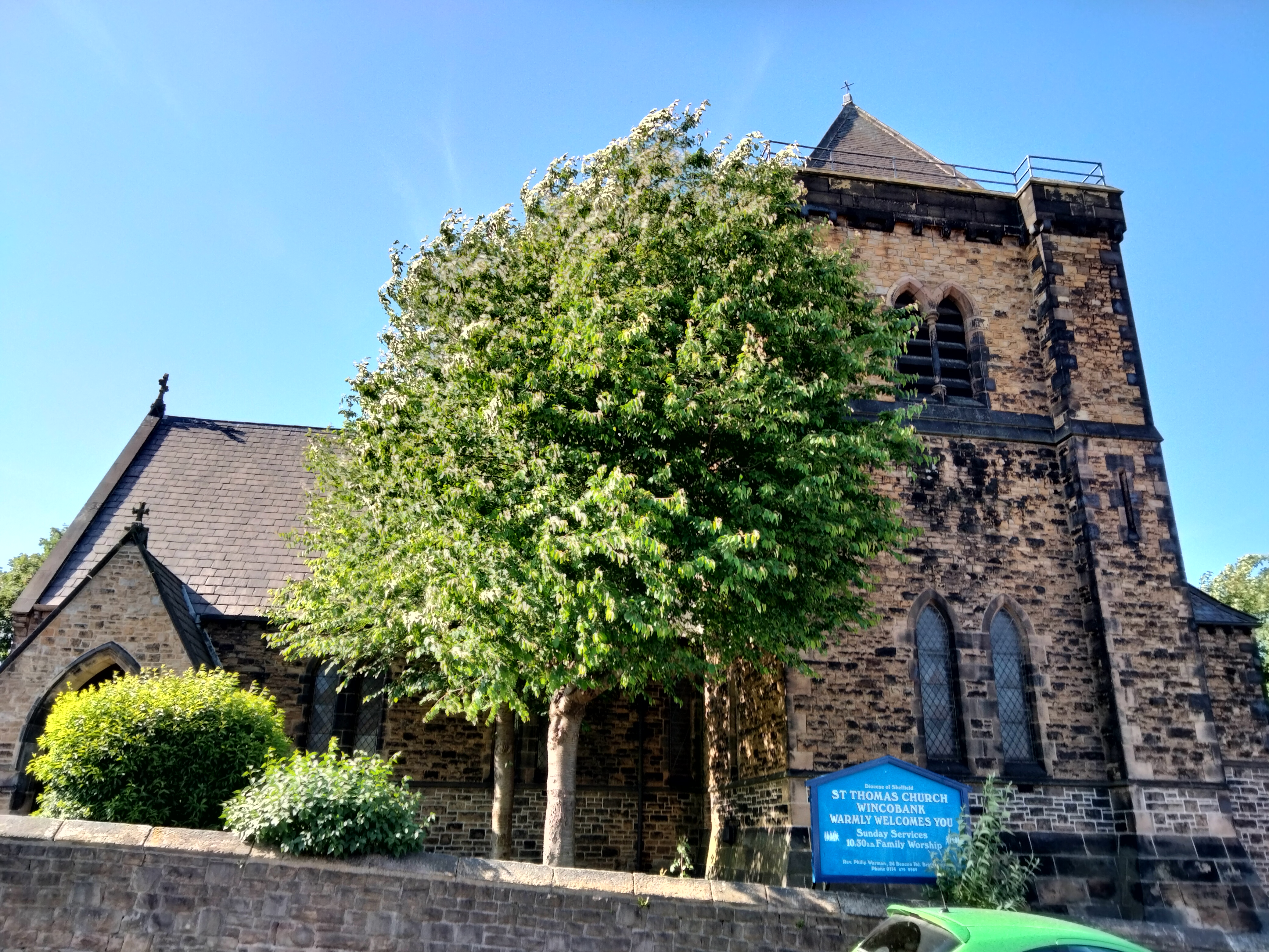
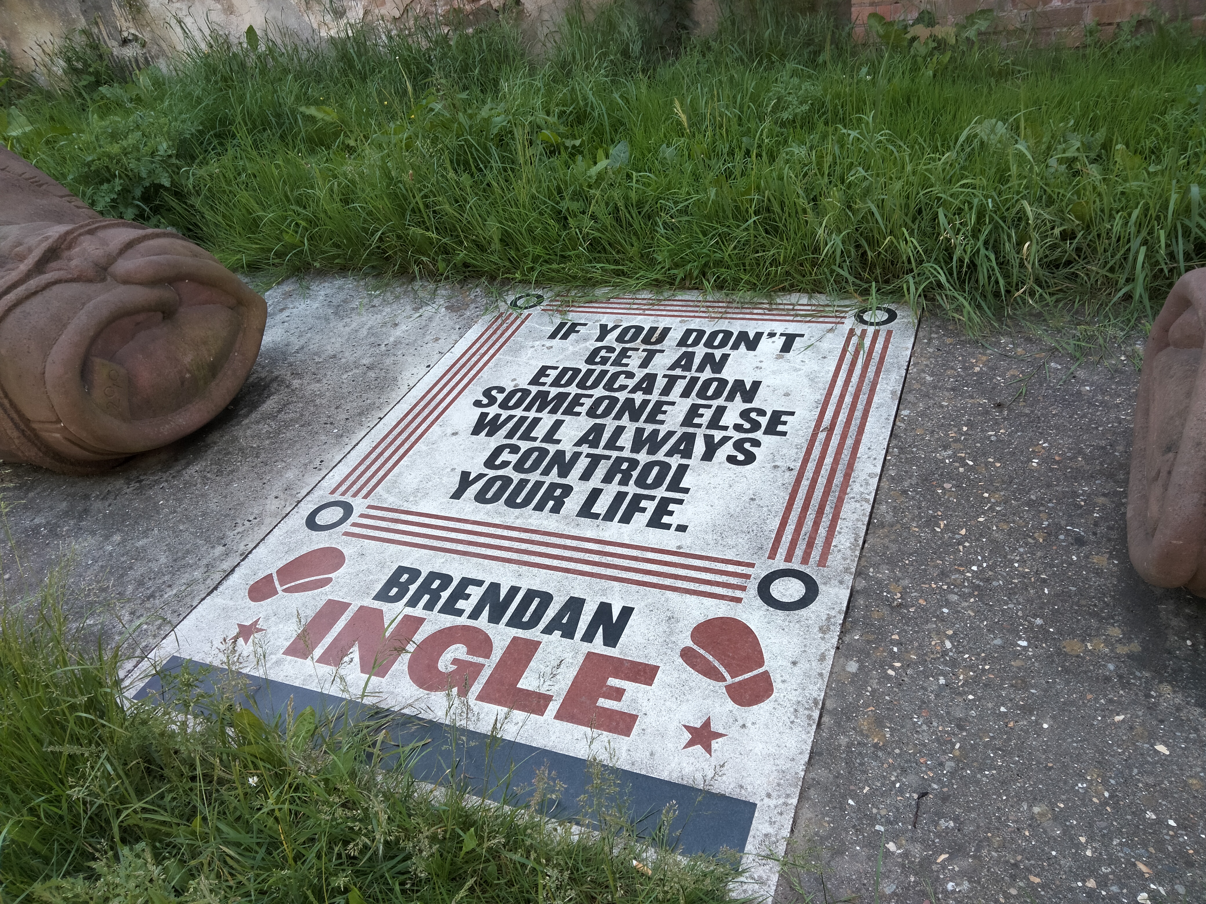
From here. the path runs through Wincobank Community Woodland, and it feels miles from anywhere, but it soon emerges into urban Sheffield again. There’s a real sense that Wincobank is a village – with its own village hall and Victorian Church. This road has also had a brush with international fame, as the home of Brendan Ingle‘s boxing gym, which I once visited long ago as part of an old job, and met the legendary man.

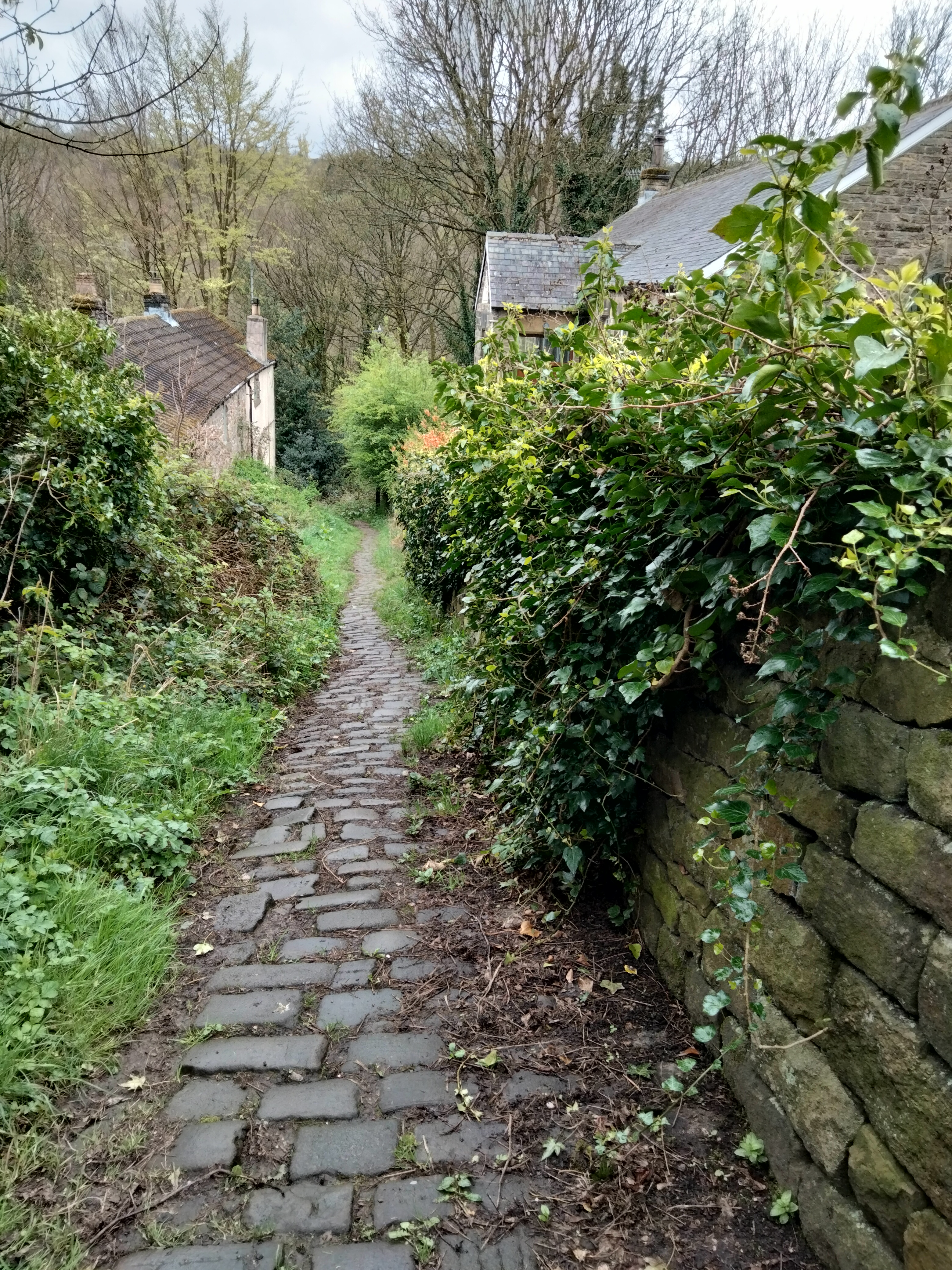
At the bottom of the street, turn left, under a bridge with some intriguing post-industrial wasteland on both sides, the end of the walk come in sight in the form of the old railway track transformed into a smooth path, the Blackburn Valley Trail, that leads us straight back to Meadowhall Interchange.

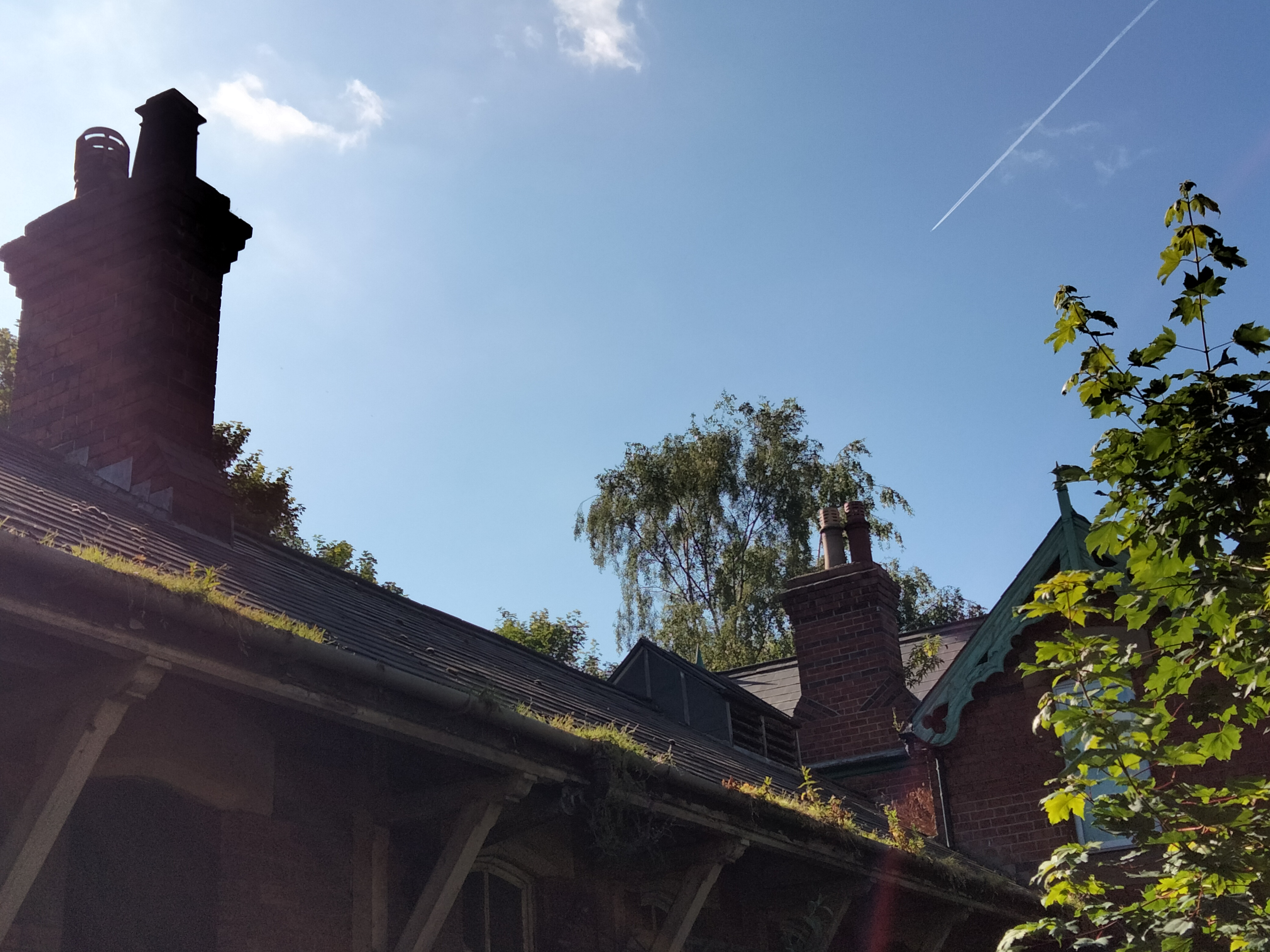
But there’s some more intrigue – emerging onto the path is the unmistakeable wooden rooftop of a Victorian country railway station – the former Meadow Hall station. It’s been closed to passengers since 1953, but it still has an evocative atmosphere, particularly surrounded by deep summer vegetation.

I hope I’ve given you an enticing taste of what this walk has to offer! I hope I haven’t spoiled any of the surprises, and I hope you find it inspiring. See you on Saturday!

Blossom, Birdsong and Brutalism

I’m writing this with aching legs after a practice walk for the Spring Nature Walk and Writing Workshop I’m running next Saturday, on 20th April at 10am. Don’t worry though! I think I’m prone to aching more than most people and I added a few miles onto the journey by setting off from home in Walkley by foot. It was worth it for the views!

Back in that lockdown spring of 2020, I decided to get out on my days off and do some proper exploring, from my doorstop. I ignored the “one hour” rule, finding it didn’t actually exist, and it didn’t matter, as long as I was in the open air. I “invented” the sport of valley hopping! This is probably something unique to Sheffield, as we have five rivers and several tributaries all feeding into the River Don. My walks were often epic fifteen-milers, and I discovered new places and new scenery.

The walk on Saturday 20th April is a shorter, but no less scenic version of this sport! It’s slightly less than four miles and can easily be done at a leisurely pace in about two hours, leaving us with plenty of time to take photos, jot things down en-route and spend some time together writing with a coffee / cake / ice cream / chip butty towards the end of the journey. Please also bring your own water bottle, and feel free to take a few snacks to sustain you on your walk.

After walking down the very steep Rivelin Bank, the walk started properly at Malin Bridge. Next Saturday, after meeting at the Malin Bridge tram stop, we’ll be having a quick look at the Malin Bridge Inn, which was completely rebuilt after being destroyed in the Sheffield Flood of 1864, which is something that may be on our minds during this walk. We’ll cross the road to have a look at the bridge itself, where the Rivelin and Loxley rivers merge before joining the river Don lower down the valley in Hillsborough.

Rumours of Robin Hood

It’s widely believed that Robin Hood did come from the village of Loxley, the area we enter as we follow the River Loxley along a lane and passing through a former steelworks which is now a retirement complex. The path through the trees becomes lane following the river along fields until we get to a tiny hamlet called Low Matlock.

Where there’s a Low Matlock, there must be a High Matlock, and that’s where we’re going! It’s a very steep path that thankfully has a handrail so you can haul yourself up. The woodland becomes almost vertical, which I always love seeing. The path was very muddy towards the top! Your journey is worth it though, as the path comes out at High Matlock, at the former Robin Hood Inn, which is now private houses. It seems that the pub was named after the famous outlaw because of Robin’s fame in this area of Sheffield.

Cherry blossoms and tower blocks

After plunging into the countryside, we are once again in suburbia, with cherry trees in blossom silhouetted against dark skies (hopefully the skies will be sunny on our actual walk!) A walk down a ginnel, gennel, jitty or whatever you want to call a narrow alleyway brings you out in a playing field in the shadow of Stannington’s 1960s tower blocks. These three towers look a bit out of place in what’s essentially a village on the edge of the Peak District, but have become an iconic part of the landscape! As a long term resident of Crookes and Walkley, I’m used to looking at them from the opposite side of the valley – it’s quite strange to see them this close. Intriguingly nearby on my map, it says “remains of tower” – a church tower, or maybe something from the days when this was Robin Hood’s forest? Maybe we will find out next Saturday, but it was a bit soggy so I didn’t stop to investigate.

Popping out through a rather foreboding underpass which also seems like it doesn’t quite belong in the landscape, the 1960s housing estate continues, but on a much more human scale. Small houses with quirky individual gardens and communal washing lines perch on the edge of the hillside. This section of the walk is best seen this time of year though – the cherry blossom is gorgeous. Walking downhill, the view of the Rivelin Valley opens up with the former Bell Hag Inn appearing like a centuries-old tower block because of the way it’s built into the hillside.

Return to Rivelin

Emerging from the cherry trees, it starts to feel more like the countryside. There’s an old chapel and a quarry in a woodland. A steep cobbled path runs downhill past the chapel (now a house with a nosy cat looking out of the window). Thankfully this path is not slippery and I realised that it must be the path that the workers at the grinding wheels (small water-powered cutlery factories) must have taken too and from work every day. It’s difficult to imagine this beautiful place being a hive of industry. For everything you need to know about the Rivelin Valley, The Rivelin Valley Conservation Group’s excellent website – and the information posts and plaques dotted along the valley – really give a picture of what life here used to be like. https://rivelinvalley.org.uk/the_valley/

It was almost a surprise to descend to the road that crosses the river. I decided to take the path immediately on my left, taking me through Rivelin Glen, as I’d never followed this route before. But the main path following the river more closely might be the more sensible choice and it involved steep climbs up and down and some very muddy bits. Still, it was an adventure, and I came out at the ruins of Roscoe Mill This was when a lady in running gear shouted ‘Look! Look!’ at me and pointed towards the hillside. For a split second, I was worried that a terrible accident had happened, then I saw two deer running up the hillside. I could see them clearly, especially their white tails bobbing up and down through the trees. I think they were roe deer It was a magical moment and both me and the jogger looked on in amazement. She said that in over thirty years of coming to the Rivelin Valley, she’d never seen deer here before. And neither had I – but you never know what you might see. The Rivelin always has a kind of enchanted atmosphere about it for me, always leading to new discoveries.

Then it was a gentle walk, past Rivelin Valley’s very own throne sitting in the middle of the river and to the cafe. On Saturday 20th April, we’ll spend some time outside or inside the cafe, depending on the weather, to do some writing, and sharing what we have written or have been thinking about.

The final section of the path down to Malin Bridge tram stop again sadly doesn’t include the stepping stones downstream from the cafe – they have been partly washed away! This must have happened in the recent storms in autumn and winter. Further on from where we have walked, a whole section of the Rivelin trail has been washed away. I hope the stepping stones and path are restored soon, but it’s a stark reminder that the places we love are not there forever unless we respect them.

Passing the fire station on the opposite river bank, Mousehole Forge once produced anvils that were exported all over the world, most famously to the wild west of the USA back in the 19th century. Some of the mill buildings and the mill house are still standing, and amongst a ruined building, you can see th beams of a huge drop hammer. It’s a Scheduled Ancient Monument, but if you peer through the wrought iron gates too, a very barky dog appears!

As we emerge onto the road again at Malin Bridge, take a look at the carved stone wall outside Lidl, commemorating the Great Sheffield Flood.

Thanks for coming with me for a virtual walk! Please come with me in real life next week. Crossed fingers, the sun will shine, but whatever the weather, we’ll have a creative adventure – who knows where that will take us in our imaginations! Book your place on the Nature Writing Walk and Workshop here: https://www.eventbrite.co.uk/e/spring-nature-writing-workshop-and-walk-registration-844643470357?aff=oddtdtcreator

I hope you are here next week with me, having a micro adventure!